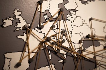
Why you should be using Gis for retail
A geographic information system (GIS) lets us visualize, question, analyze, and interpret data to understand relationships, patterns, and trends. GIS is becoming essential to…
A geographic information system (GIS) lets us visualize, question, analyze, and interpret data to understand relationships, patterns, and trends. GIS is becoming essential to…
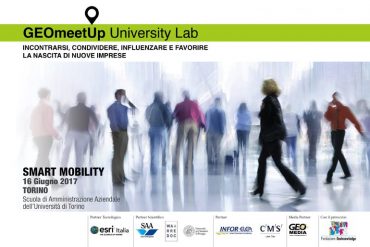
On the 16th of June GEOmeetup University Lab 2017 will be in Tutin to deal with the Theme of ‘’SMART MOBILITY’’ at the Scuola…
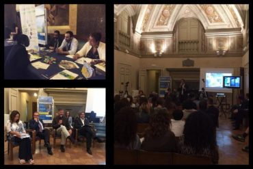
Last 16th of May within the event ‘Carreer Day’ at the University for Foreigners of Perugia, occurred the first stage of the ‘GEOmeetup Tour…